Attention – Ganaraska Forest Closed Due to Storm

GRCA is requesting that you communicate the following messages out to your members and networks while stressing the seriousness of the situation. 

  • On Saturday May 21, 2022 a massive storm system caused significant damage to the Ganaraska Forest and its entire trail network (West Central and East Forests are all effected).
  • The current situation in the Ganaraska Forest is very serious and extremely dangerous.
  • The GRCA and Police are strictly enforcing the closure of the Ganaraska Forest and NO ACCESS is being granted until furture notice
  • The Ganaraska Forest is extremely dangerous with hazard trees and significant blockages throughout the entire trail network of the Ganaraska Forest (West, Central and East Forests).
  • Please respect any form of barriers and signage that is blocking access and DO NOT cross these barriers. 
  •  
  • All Special Events are cancelled for the foreseeable future. No new applications will be accepted.
  • Updates will be provided through the Ganaraska Conservation Facebook page, www.grca.on.ca and www.ganaraskaforestcentre.ca.
  • Staff are currently assessing the entire Ganaraska Forest trail network and Trail clearing work is underway.
  • As assessment and trail clearing continues, recovery plans are being created.
  • Thank you for your support, and patience during this trying time.

Ed Van Osch 

Forest Recreation Technician, Provincial Offences Officer  

Ganaraska Forest Centre 

RR1 Campbellcroft, Ontario 

L0A 1B0 

905-885-8173 ext. 325 

Kawartha Club Hikes Suspended Due to Storm Damage

We sincerely regret to let you all know that Kawartha Club hikes are suspended until further notice.

One by one, property owners are closing parks and trails as a result of the storm last Saturday. Those closures include trails that are on our Spring 2022 Hike Schedule. Reopening of those parks and trails are dependent on the completion of a property by property assessment of conditions and completing actions to ensure that the trails are safe. The property owners that have closed parks and trails include the City of Peterborough, Otonabee Conservation and Kawartha Land Trust.

We will continue to monitor the status of the park and trail closures and let you all know when we can begin hiking again. Hopefully that will be soon.

In the meantime, enjoy your hiking and biking in safe locations! We are hoping that this will be a brief suspension and will let you know when we restart our hikes.

Richard Raper, Weekend Hike Coordinator – Kawartha Club

TRAIL ALERT IN THE COPELAND FOREST!

Oro-Medonte Hiking Trail Section in Copeland Forest.

There has been a water surge in Copeland Forest creating a major washout of a small section of the Oro-Medonte Ganaraska Hiking Trail.  Anyone walking the trail will have to make a short detour to connect to the other section.  Hikers will not be able to walk the trail in the destroyed area near the small pond midway between P1 & P2. 

The New and Improved Trail Guide

This is very exciting news! History in the making!

The Ganaraska Hiking Trail Association Inc. is extremely pleased to announce the launch of a new Trail Guide that will complement our Ondago mobile app maps of our beloved Ganaraska Hiking Trail. The last edition of our hard copy trail maps was in 2013 and included only some minor revisions of the original 2006 edition.

Our new maps offer much more detail and are a far cry from what used to be just a “red line on a map”. A lot of effort has gone into the production of these new maps, and we are very pleased with the outcome.

Our new Trail Guide, with downloadable and printable maps and trail descriptions, has now been posted on our www.ganaraska-hiking-trail.org website. You might remember that early in the project (December 2020) a survey was sent out to Ganaraska and other hiking group members asking questions about what they wanted to see in the new ‘Guidebook’. The key points in the feedback that were used to steer the work in this project were:

  1. Maintain the format of providing maps accompanied by a detailed trail description (similar to the 2013 Guidebook). 
  2. Provide hikers with the option of either a printed map or a mobile device map application.
  3. Make sure the maps have sufficient detail to be useable as a navigation tool in the field (sufficient contour detail, road and building detail, compass angle of declination detail, etc.).

Internally we also decided that we no longer wanted to inventory map books and ship them as required, so we opted for FREE downloadable/printable maps. In addition, all the key points of feedback from the survey were implemented, and our new Trail Guide combined with our Ondago mobile device app provides hikers of the Ganaraska Hiking Trail with the information they need, in whichever format they choose, to learn about and enjoy the approximately 500 km long Ganaraska Hiking Trail from end to end.

The new Trail Guide maps consist of a series of 33 maps plus an index map, as well as written Trail Descriptions (with latitude and longitude coordinates) of each of the 9 club sections of the Ganaraska Hiking Trail. All maps and descriptions can be downloaded for free and are printable. Our website also contains information on how to navigate the trail and the maps. See The Trail/Trail Sections with Maps for the maps and descriptions, organized by club.

We were very pleased with the work of our cartographer, Lyle Wood of Barrie (wood_lyle@hotmail.com) and my personal thanks go to Stan Muldoon, John Sloan, Gary Norton, Steve Broomfield, Heather Briant and a number of other people that have been involved in the making of this new Trail Guide.

Happy hiking!

Frieda Baldwin

President, Ganaraska Hiking Trail Association Inc.

2022.01.15 – Pine Ridge Club trail section closure in Ganaraska Forest.

The Ganaraska Forest Centre has announced that hiking will not be allowed on their cross country ski trails between January 1 and March 31. This announcement affects the Pine Ridge Club trail through the forest. The attached diagram shows an alternative road walking route to avoid the ski trails. The affected area can be found on the Ondaga app for the Pine Ridge Club between the 31.1 KM marker and 39.7 KM markers on the map. We ask that all users of the Ganaraska hiking trail watch for, and comply with, trail usage instructions as posted by the Ganaraska Forest organization.

Tiny Section Side Trail Flooding

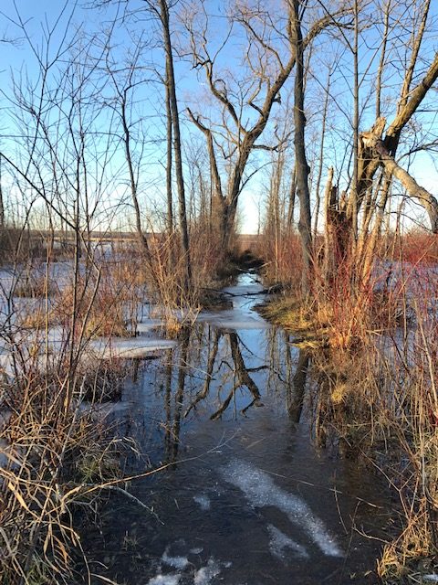
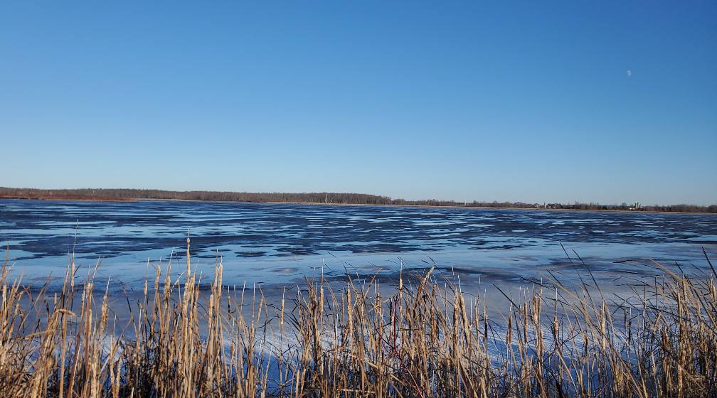
The Midland Ganaraska Hiking Club reports that unfortunately the western blue-blazed side trail loop of the Ganaraska Hiking Trail is currently under water. There is no access to the lookout tower or the boardwalk until the water recedes. As an alternate trail, go east of the Visitor Centre, and complete the 6 km loop along the Carolina and Trotter Dykes, and enjoy the beautiful view along the way.

Side Trail Under Water
View from the Dyke
View from the Dyke

2021.11.10 – Simcoe County Forest Crawford Tract Logging Operations Complete – Trail Now Open

We have just received confirmation from the Simcoe County Forestry organization that logging operations in SCF Crawford Tract are now complete and the trail is open and available for use. This is the section of the Barrie Club trail in Oro-Medonte between Lines 5 & 6 just south of Sugarbush Estates (south of Horseshoe Valley Road). There is a bit of trail clean-up and maintenance to be done but the trail is useable. Enjoy!

2021.11.05 Wilderness Club – Montgomery Bridge Seasonal Removal

Effective November 5, 2021, the bridge segments will be disconnected and heaved up onto the bank to keep them high & dry over the winter season. After the bridge is out, we can still cross safely on the fallen tree (aka the “Four Brothers”) that spans Montgomery Creek about 250 metres upstream from the private bridge. The bridge will be replaced in the spring.

2021.10.06 – Significant Reroute in Wilderness Area

West of North Smudge Lake near campsite 12, a number of beaver dams including one that is part of the Ganaraska Trail have blown out recently. Please follow the temporary reroute (not flagged) to a beaver dam that is still standing. The reroute is 1.2 km, adding .5 km to the total distance of the trail.

2021.09.23 – Logging complete on Oro-Medonte Trail between Lines 4N & 5N.

Update 2021.10.01 – BLAZING AND TRAIL MAINTENANCE NOW COMPLETE! ENJOY THE TRAIL.

The logging on private land between Lines 4N and 5N on the Oro-Medonte trail is now complete (reference the posting dated June 7, 2021). The trail is useable but needs to be re-blazed – scheduled to happen by the end of September. Our Ondago app will keep you on the trail until the blazing has been refreshed. It is great to have the Oro-Medonte trail once again available from end-to-end. Enjoy the fall hiking.