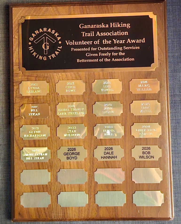
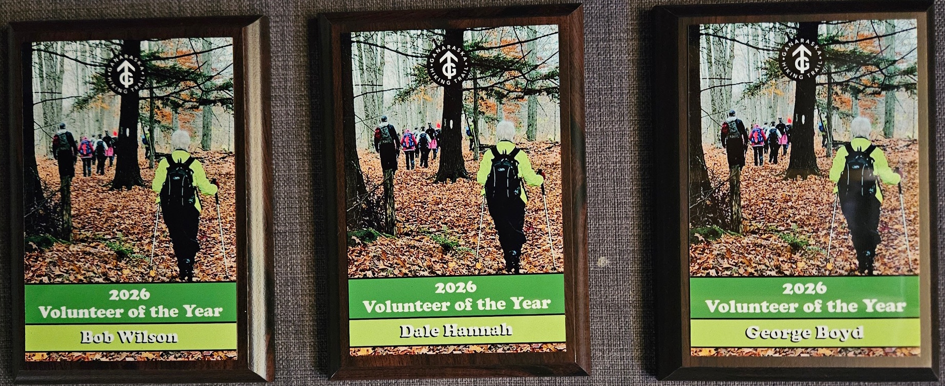
2025 was a unique year for volunteer activity due to the ice storm. The Ganaraska Hiking Trail Association Inc. executive, therefore decided to recognize three people for their contribution to the re-opening of the Ganaraska Hiking Trail in 2025.
While there are many people to thank for our remarkable recovery from the devastation of the storm in March of 2025, we want to extend a special thank you and present our Volunteer of the Year Award to the following:
George Boyd from the Kawartha Club – George spent considerable time providing information to make our maps of the Kawartha section more accurate while also taking a leadership role with the club’s hiking calendar.
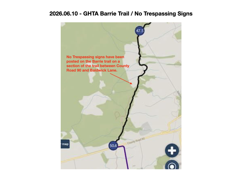
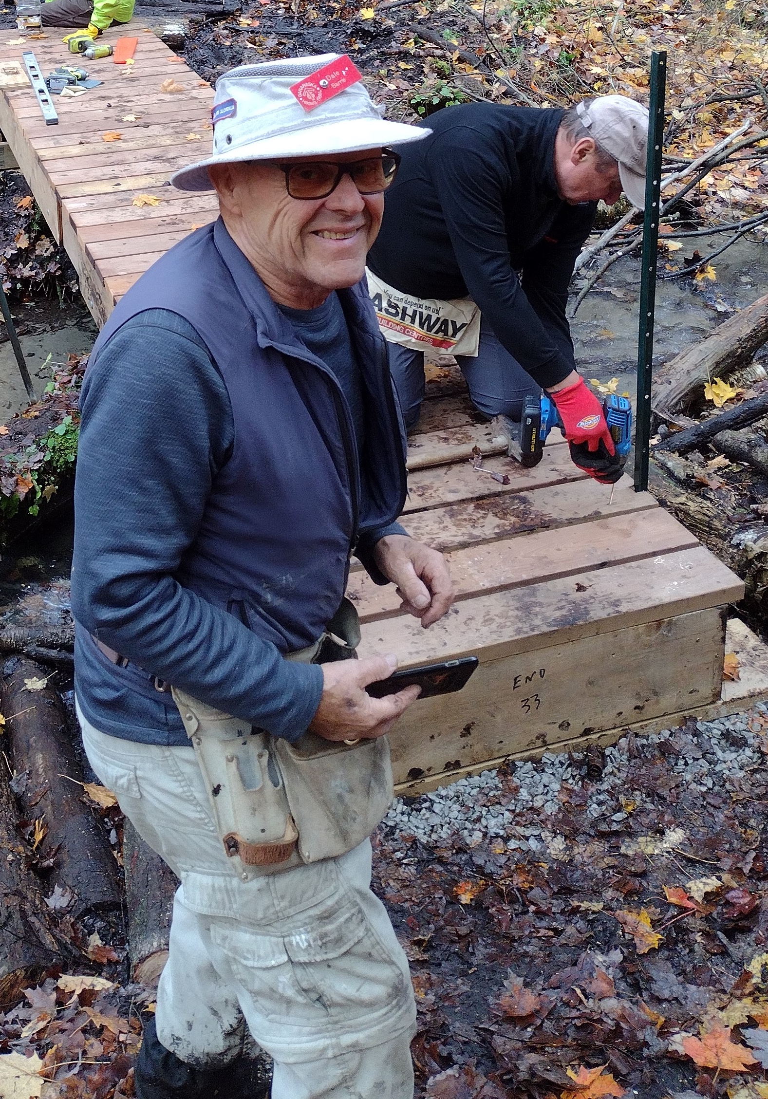
Dale Hannah of the Barrie Club – Dale also led the activity to build three new water crossings on the Barrie section between Old Second South and Gill Road.
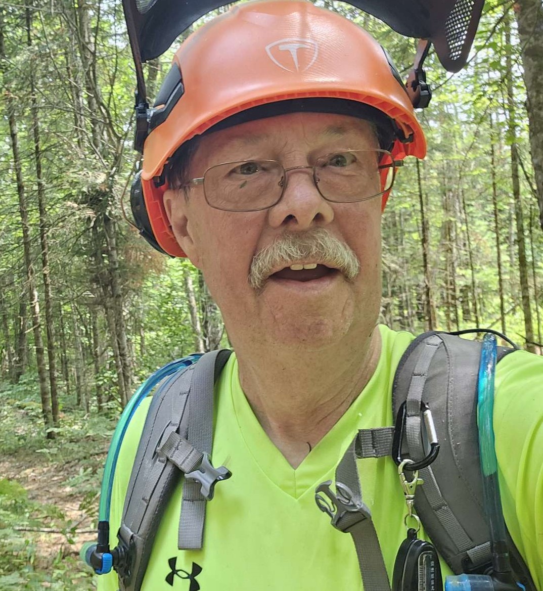
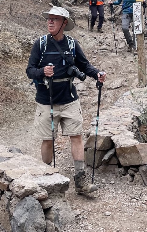
Bob Wilson of the Orillia Club – Bob made each trail maintenance outing enjoyable, safe and productive and there were many! He even brought snacks and refreshments along each time.
The above three sections of the Ganaraska Hiking Trail were especially hit hard by the ice storm. Dale, George and Bob’s leadership, their energy and the many long hours they spent on the trail were critical in getting our trails back in great shape.
The contribution of these three individuals shows how a volunteer-based organization such as the Ganaraska Hiking Trail Association Inc. can remain sustainable and keep on thriving.
Thank You!
Ganaraska Hiking Trail Association Inc.
April 2026