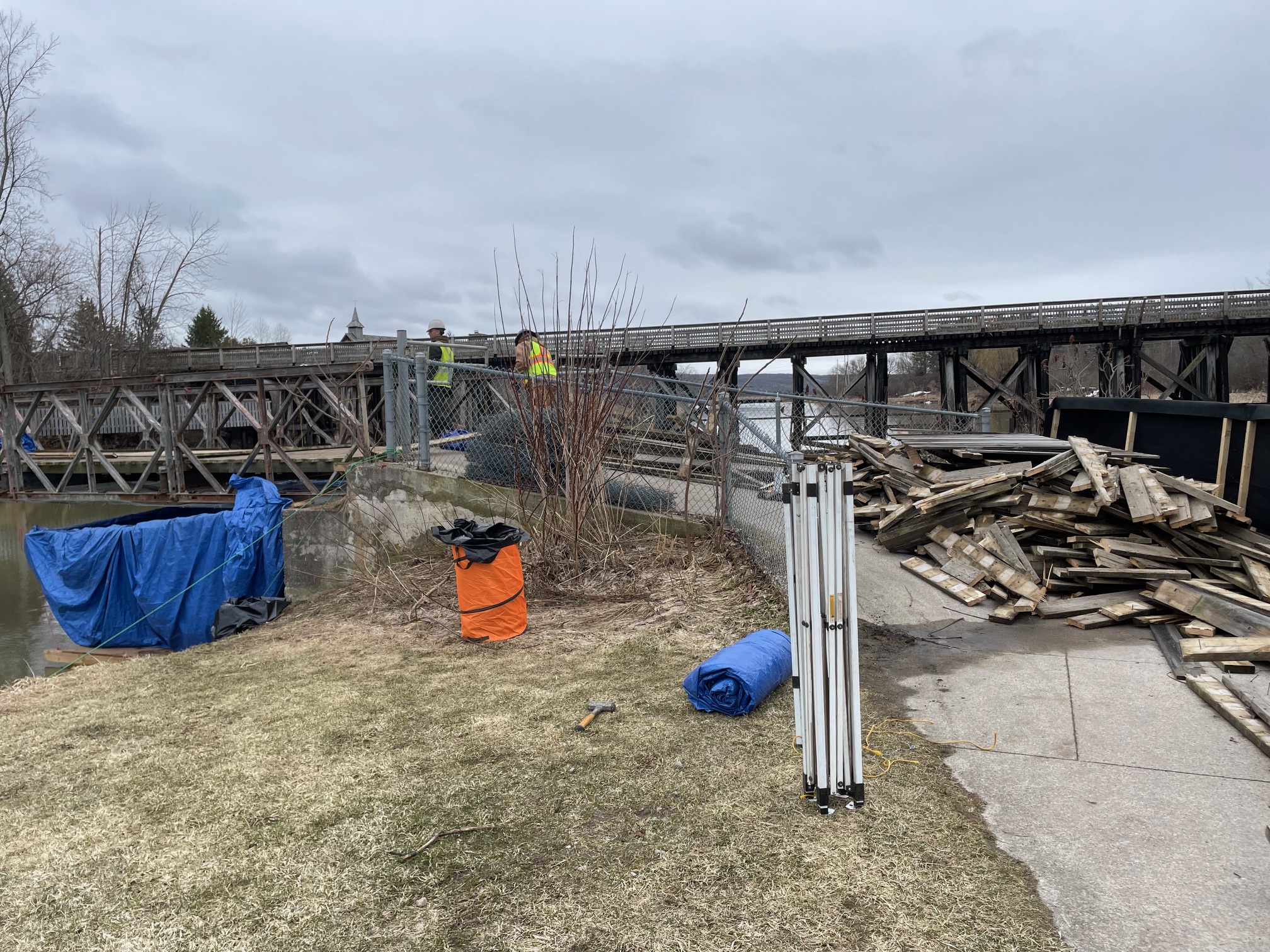
The Mad River leadership team is pleased to announce that the official opening of the Simcoe’s Barrie-Collingwood Railway (BCRY) Active Transportation Trail between Stayner and Angus took place on April 30th, 2026. There is no longer any restriction on using this multi-use trail that forms part of the Mad River trail section. Hikers are encouraged to exercise caution at intersecting roads and obey all posted trail signage. Please stay alert for cyclists coming from behind you; be courteous and leave enough room for them to pass.
From the Simcoe County website announcement – “The full extension, spanning approximately 23 kilometres along the former Barrie Collingwood Railway corridor, has been transformed into a multi-use active transportation trail connecting the communities of Collingwood, Stayner, New Lowell and Angus, while passing through several other small villages and towns along the way. With this expansion, the Rail Trail now extends nearly 34 kilometres from Collingwood to Angus. The trail provides residents and visitors with a safe, accessible route for walking, cycling and other non-motorized uses, while preserving a historic transportation corridor.”
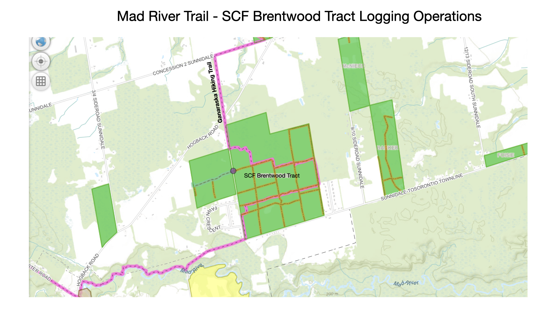
Completing this section of the Mad River trail is now necessary for end-to-end badge recognition (it had previously been excluded due to the trail conditions).
Please check out this newly transformed section of the Mad River trail in the near future.