2026.04.06 – Midland Trail Detour Around Closed Bridge at Wye River

A detour has been created to get around the Wye River bridge closure affecting the Midland trail. In the attached picture the green route is the detour and the red route indicates the section of the normal trail that is affected by the bridge closure. A description of the detour follows.

“At km 13.6 of the Midland section, note that the small pedestrian bridge that leads the trail under highway 12 to Sainte Marie Park is under construction and closed until the end of May. Therefore, as a detour, continue on the paved Tay Shore Trail across the wooden tresle bridge, which leads to the green highway 12 bridge. Stay on the paved trail until it turns right (east). At the next intersection turn left (north) immediately past the creek railings, enter the forest through a small opening from where you will pick up the existing Ganaraska Hiking Trail blazes again.”  

2025.12.03 – Simcoe County Interactive Map Updated to Show Current Ganaraska Hiking Trail

For those of you that use the Simcoe County Interactive Map (https://opengis.simcoe.ca/public/ ) we are happy to announce that the map has been updated to reflect the current Ganaraska Hiking Trail, including all side trails. Our thanks to Victor Tolgyessy for working with the Simcoe County GIS team to get this done.

2025.06.08 – Ice Storm Damage Update for GHTA Midland / Tiny Club Trails

After a lot of hard work by a lot of volunteers, the Midland Club trail is open except for the 4.1 km stretch between Vasey Road and Hogg Valley Road (Trail Guide Map #32) and the Tiny trail is open except for the side trail in Tiny Marsh that goes to Mole Mountain (Trail Guide Map #29 & #30). Further updates will be posted as these trail sections are inspected and cleared.

A caution reminder – All trail users should remember that even though the trails themselves are clear there may still be risks in forested areas due to overhead broken branches or leaning or weakened trees due to the ice storm. Hike with caution and watch for overhead and nearby hazards. All trail users must accept personal responsibility for their own safety.

Ice Storm Restoration Update

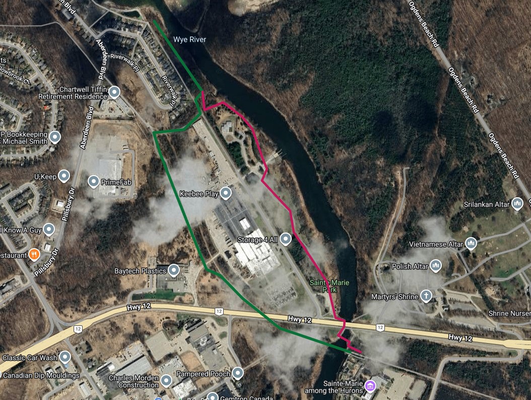
 As per our announcement of April 3, 2025, following the ice storm of March 29/30, the entire 500 km long Ganaraska Hiking Trail was officially closed. Meanwhile, our club volunteers have been busy assessing and restoring their sections of the Ganaraska Hiking Trail and as a result of their hard work, we hope to be able to “open” up some sections very soon. Stay tuned for further announcements, hopefully by this coming  weekend. 

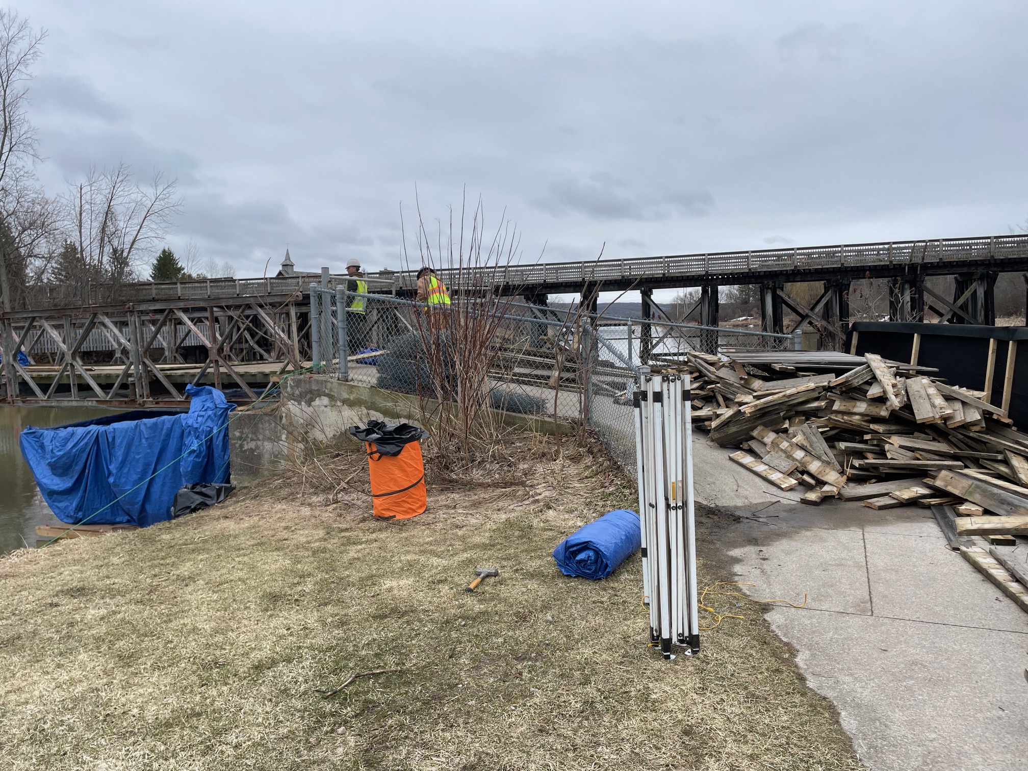
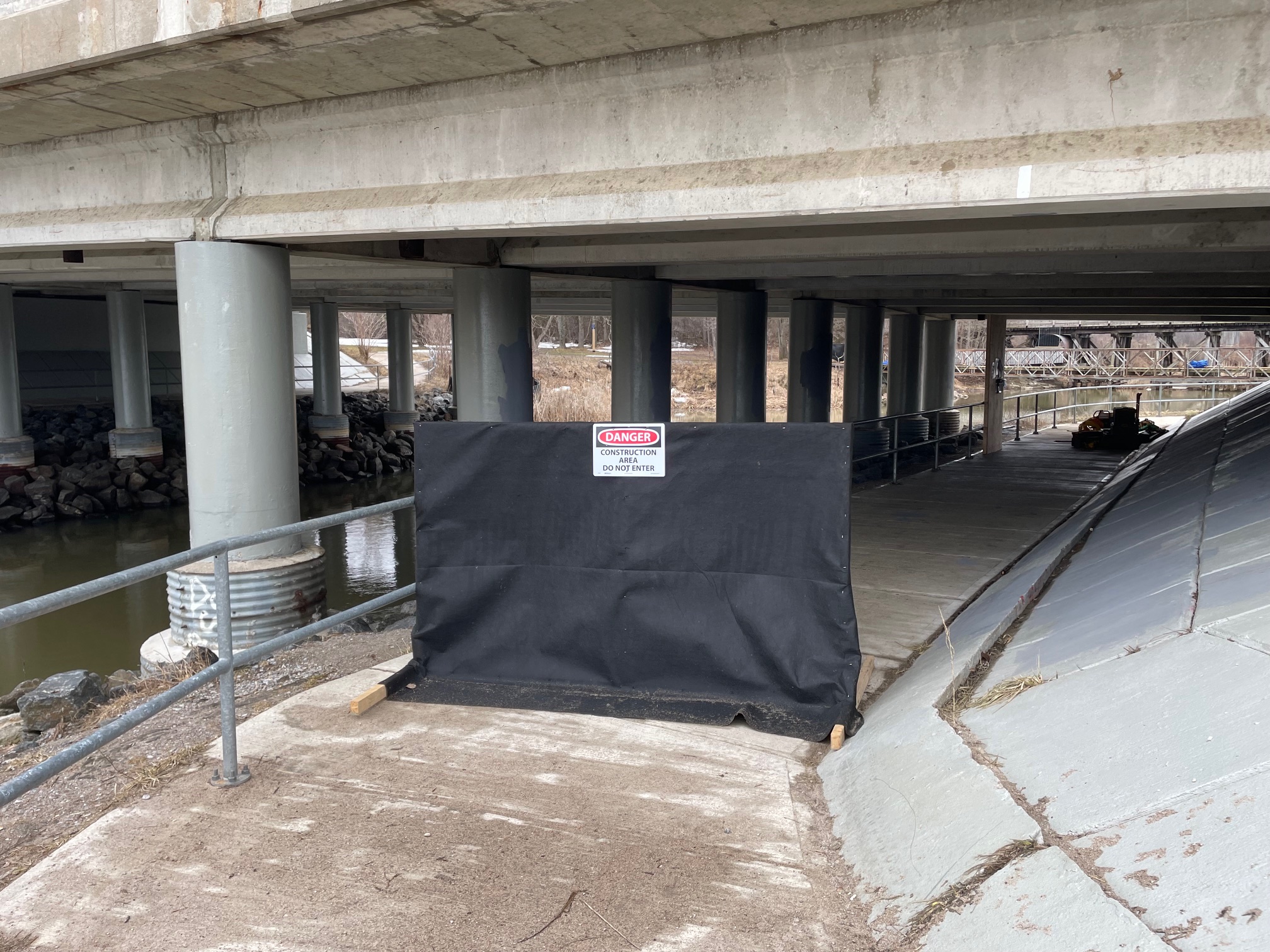
Our volunteers have already cleared a lot of the fallen debris, put caution tape around some dangerous hazards and/or created a small reroute, all this in an effort to make the trail “passable”. Trail Closed signs are being installed on those sections of the Ganaraska Hiking Trail, which are still considered impassable, or where we have not been able to even start or complete any restoration.  In the most affected areas, such as many of the Simcoe County Forests in Oro Medonte, salvage efforts are scheduled by the landowner. These logging operations may last well into the summer, but will open up the forest access roads, and make it easier for our volunteers to access the trail for restoration efforts.  

As we cannot enforce physical closure of trail access, we ask that persons traversing the trail be guided by the following principles:

  • As is always the case, even under normal circumstances, HIKE AT YOUR OWN RISK. It remains the individual’s own responsibility to decide what their own risk tolerance is. 
  • There are still a lot of overhead hazards such as tree branches hanging above the trail, or leaning trees near the trail, which we plan to deal with in due time. Several of our volunteers  have taken chainsaw training to help tackle the situation.
  • Consider the wind. Higher wind speeds and gusts can dislodge the overhead hazards or topple leaning trees.
  • Leave a hike plan with someone (i.e. where you plan to hike, when expected back, etc.)
  • Hike with a buddy

Enjoy the hiking season, but stay safe out there!

Frieda Baldwin

President, Ganaraska Hiking Trail Association Inc.

2025 Volunteer of the Year – Simone Latham

We are highly appreciative of the contributions Simone Latham has made to the Ganaraska Hiking Trail Association Inc. as our Treasurer since 2018, a valued member of our GHTA Executive, as a Certified Hike Leader for the Midland club, and as a great friend. 

Simone joined the Ganaraska Hiking Trail Association Inc. in 2011, and in 2012 soon after encouraged a team of 4 GHTA members to walk the 100 km Oxfam event in 48 hours. It was a very hot weekend, but we all made it in 42 hours, and only lost several toe nails in the process. However, she really enjoyed hiking and became a great hike leader.

As a member of the GHTA Executive, her skills and past experience with other not for profit and charitable boards, as well as with procedures and policies, helped us streamline & automate our GHTA processing for payments, bookkeeping, expense reimbursements, etransfers and many other administrative changes. We also thank her for the amount of time she gave us to find a suitable replacement, and get our processes documented and streamlined to pass on to our new Treasurer. 

Simone Latham receiving 2025 Volunteer of the Year

We wish her all the best in her retirement as treasurer from the Ganaraska Hiking Trail Association Inc, and will miss her as a great team player and friend. 

Safe Hiker Course April 26 at Tiffin Centre for Conservation

On Saturday April 26, 2025 Ganaraska Hiking Trail Association will be offering a Safe Hiker course for members and non-members. The course is built on the Hike Ontario Safe Hiker course, but will include other topics such as information about safe hiking after the ice storm, protecting from ticks, carpool etiquette, planning for a hike, navigation tools, What3Words, what if you get lost/injured, weather, etc.

Following the course, there will be a 1 to 1.5 hour hike on the beautiful Tiffin CA property. Both the course and parking are free on April 26.

Address: Tiffin Centre, 8195 8th Line of Essa, Utopia, Ontario on Saturday April 26 at 12:30.
Park in the large parking lot by the green Administration building and proceed past that building via the covered boardwalk to the Learning Centre.

To sign up for the free course, enter your name and email on the following link. Your email will only be visible to the instructors and will be used in case of a change or cancellation.
Safe Hiker Course Registration

Tiny/Midland Parking Update

Because of the bad sight lines coming out of this parking lot, where the Tiny and Midland sections of the Ganaraska Hiking Trail meet, the County of Simcoe has closed the parking lot on the east side of Overheadbridge Road opposite Kingfischer Road. A large new parking lot has been built just 500 m further south, but it is not plowed (as yet). We are currently investigating a new route for the very last 200 m of the Midland section, and perhaps a blue side trail to the new parking lot. Meanwhile, park on Kingfischer Road and cross Overheadbridge Road if you want to hike east towards Midland. 

Midland GAP – make up date success

Although it was a hot and humid day on July 13, eighteen hikers registered for the make up date for the 18 km GAP hike, i.e. the new trail that connects the Midland and Tiny sections of the Ganaraska Hiking Trail.  The trail follows the beautiful valley of the Tiny Trail for a bit, then goes through the Thompson Forest, and down the Mid Pen Link to come out on the Midland Rotary Waterfront Trail (with some short road sections in between). Although we had one drop out due to the humidity, the other 17 hikers seemed to really enjoy the walk and were presented with a GAP badge. 

“I Hiked the Gap” Badge Now Available

Following the historic “closing of the gap” event on May 11, 2024, between the Midland and Tiny sections of the Ganaraska Hiking Trail, we now have a continuous loop of the Ganaraska Hiking Trail in Simcoe County.

The 18 km Gap trail, includes 2 kms along the beautiful Tiny Rail Trail and passes by a wetland, several creek crossings, etc. The trail then ascends to the Thompson Forest. In Penetanguishene there is about 2 km sidewalk/road walking, before the trail descends to the Midland waterfront via the forested Mid Pen Link trail. The final 6 km is along the shore of Georgian Bay and the Wye River. You can do the 18 km at your own pace, and even in sections. Updated maps are posted here.

I Hiked the Gap Badge

As a consequence, anyone wishing to obtain the Midland and Tiny end-to-end section badges, now have to complete the new distances: 28.2 km for the Midland badge and 30 km for the Tiny badge.

As well, the beautiful “I Hiked the Gap” badge is now available for sale ($7) to anyone who hikes the 18 km Gap trail. To obtain the badge, we do not need a log, but ask that you post a selfie or photo taken on your hike on the Gap trail, and post it in the Ganaraska Hiking Trail Group on Facebook, and order the badge using the Merchandise Order Form.

Any questions, please contact badgofficer@ghta.ca or president@ghta.ca.