
Stayner EcoPark reroute
This reroute moves the trail off busy Country Road 7 and Centre Line Road to pass through Stayner’s new EcoPark forest, through Station Park, and along the footpath beside the abandoned CN Railway tracks.

A place for reflection, peace, tranquility, friendship, stress relief and a return to nature.
This reroute moves the trail off busy Country Road 7 and Centre Line Road to pass through Stayner’s new EcoPark forest, through Station Park, and along the footpath beside the abandoned CN Railway tracks.
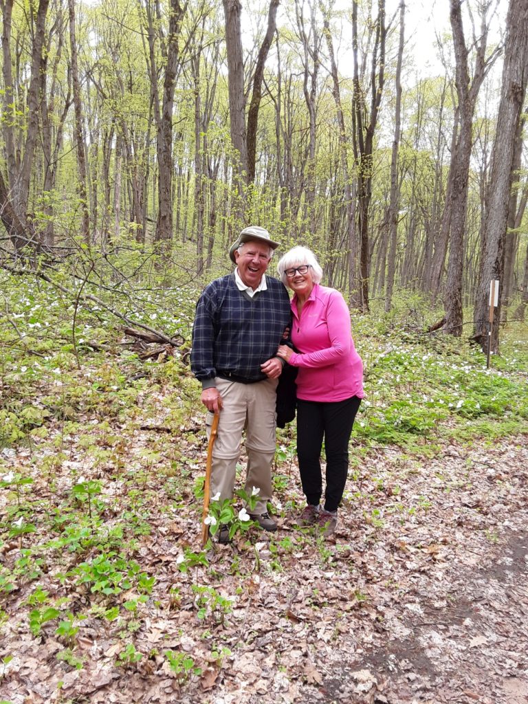
Thanks to Guenter for leading the hike and to Jenny for taking the photos.
Rob
There has been a loss of permission to use a section of the Orillia Club’s trail, specifically the western half of the trail running between the 10thand 9thlines of Oro-Medonte. We are working on a solution, but hikers are to proceed no further west along that section than the posted “No Trespassing”sign. Likewise do not use the section from Line 9 N going east (it is also posted “No Trespassing”). See the revised Map 18 with cross hatches on the closed section.
Find under menu item “The Trail / Trail Sections with Maps”
The on-line guidebook consists of 9 sections, one PDF file for each of the 9 GHTA clubs and contains the trail descriptions and maps.
Many thanks to John Sloan for scanning and preparing these files.
Rob
A couple of weeks ago we did our trail maintenance. One area always gives us grief and this year it was no different. The section between Peter St. and Vasey Road (County Road 23) – right in the middle of that section it was once again too wet to get into. Very swampy and of course with this wet spring it did not help this year. I would like to warn any hikers who may be attempting to hike in this area to be aware that it is impassable and they should continue along the road – that is Line 5 until they reach Vasey Road.
Christine Cornu Ph 705-733-3825
Thanks to Jenny Schimmel for the photography.
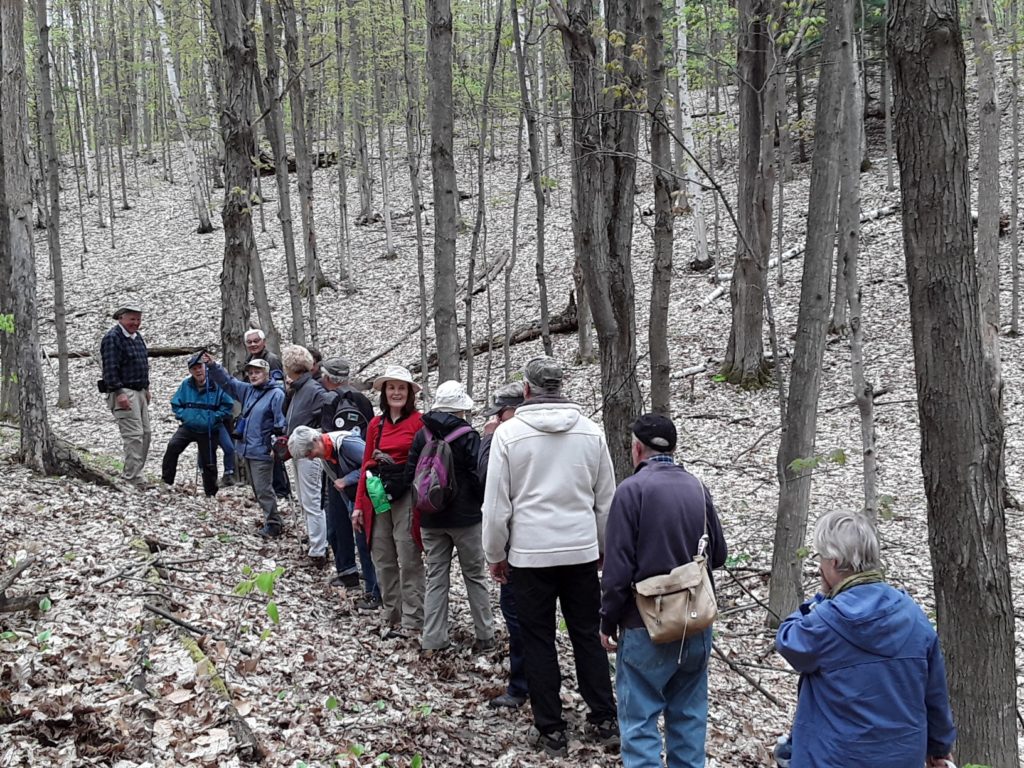
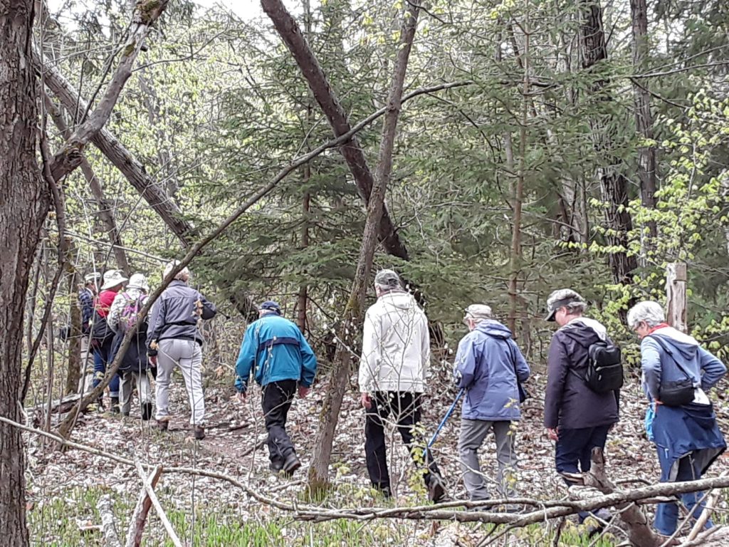
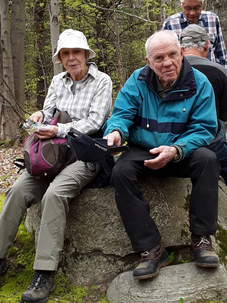


On May 16, 2019 a reroute for a section of the GHTA Mad River Club trail was blazed near Glencairn, getting 2 km of the trail off of Webster Road and Centre Line Road. Our thanks to Sharon and Steve Striegl for allowing the new route on their property at 9230 Webster Road.
The new trail section provides a pleasant hike beside tree nursery fields and through forested areas. The property has an interesting history, as described below by Sharon and Steve.
“The property was purchased in 1961 by George and Gertrude Striegl. At the time, it was one of over 200 tobacco farms in the region. The Striegls retired in 1975 when the current owners and 2nd generation of tobacco growers, Steve and Sharon Striegl, grew tobacco until 1988. At that time, the property was one of only 4 tobacco farms left in the area. The property has been leased to Somerville Nurseries where it has been planted in X-mas trees (Fraser Fir, Balsam Fir), ever since.”
The attached files provide a marked up version of map #24 from the Guidebook, a satellite image of the new route, and a topo map of the new route.
The GHTA very much appreciates the generosity and support from Sharon and Steve for allowing this trail section to be established on their property.
– John
John Sloan Ganaraska Hiking Trail Association Director Trails and Landowner Relations / Barrie Club President jjcsloan@gmail.com / 705-715-6994
http://ganaraska-hiking-trail.org/wp-content/uploads/2019/05/Map-24-Update-20190516.pdf
http://ganaraska-hiking-trail.org/wp-content/uploads/2019/05/Striegl-Property-Trail-Topo.pdf
http://ganaraska-hiking-trail.org/wp-content/uploads/2019/05/lyme-disease-risk-area-map-2019.pdf
Map provides provincial picture of where there are known blacklegged tick populations and the estimated risk areas of Lyme disease.